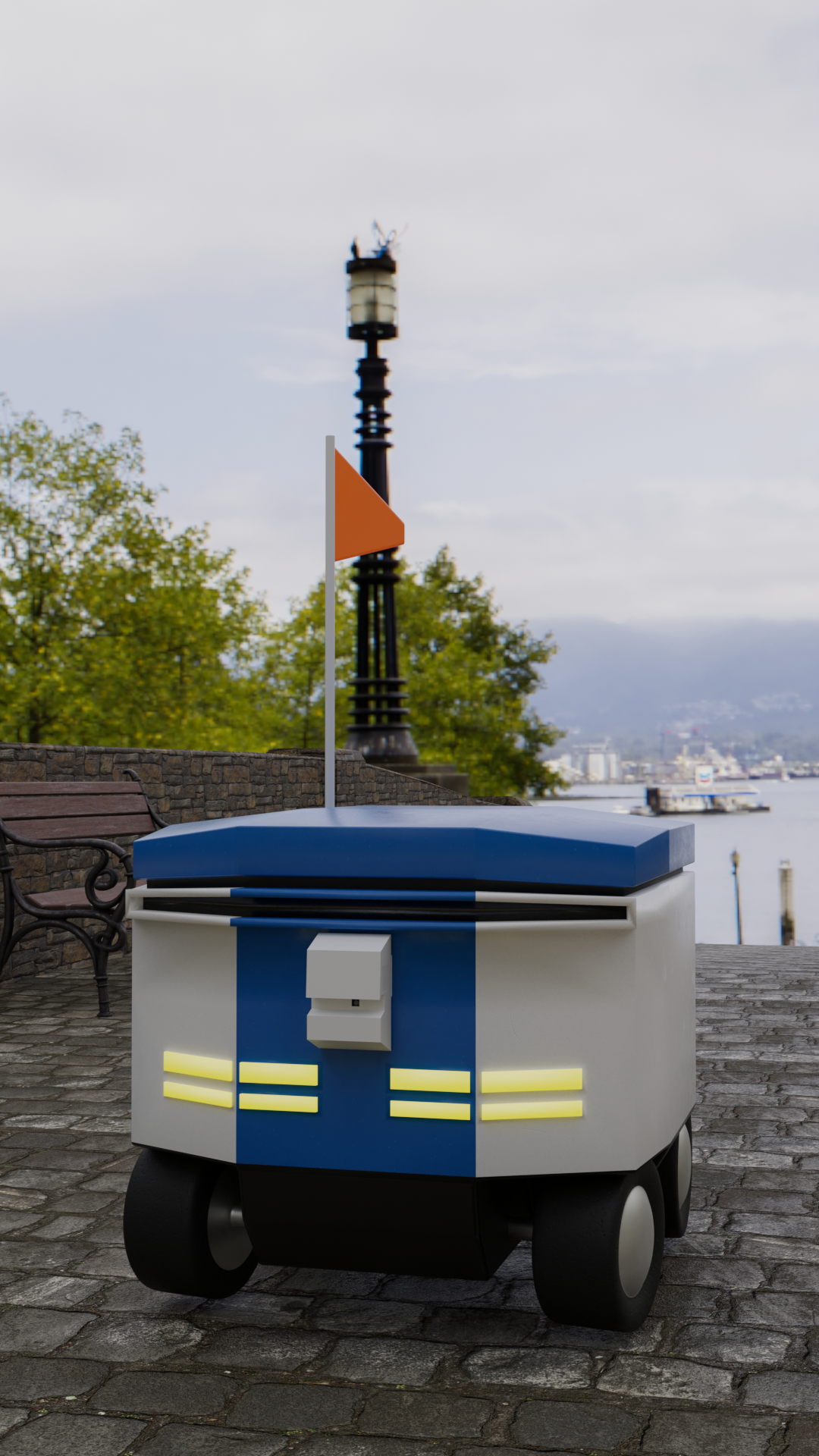
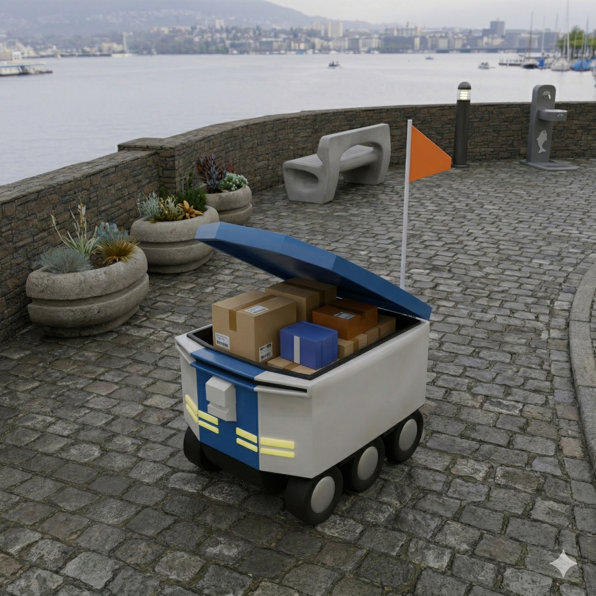
See Beyond the Cameras: Environmental Data for Logistics Robotics

Optimizing robotic fleets with hyper-local environmental data. Avoid costly delays and ensure safe operations year-round.

What the Eye Doesn't See...

We provide a complete sensing solution that integrates seamlessly with your operations, delivering actionable insights with no friction.

Attach Sensors

We attach sensors with non-permanent mounts, ensuring they do not obstruct the normal use of the robot. Our casing can be specially designed for each application. Our solution can operate completely independently of the robot's systems.

Receive Data

We deliver sensor data to you based on a simple API, providing both raw metrics and derived flags for risks and indices. We are able to warn about icing, fog, and other hazardous conditions as well as report on environmental exposures such as temperature and humidity.

Gain Insights

We help you map out areas where robots struggle with the environment and develop predictive maintenance schedules and improved coordination. Our data can also be used to optimize routes and improve overall operational efficiency.

Robot with sensor visualization

Operational priorities

On-Time Insights 24/7, Throughout the Year

Winter icon

Winter

Preventive alerts for black-ice and camera-fogging events to reduce van rescues and ensure uptime.

Spring icon

Spring

Monitor high pollen counts that can affect sensors and manage unpredictable slip risks from sudden showers.

Summer icon

Summer

Protect battery packs by avoiding urban heat islands and ensure cold chain compliance with internal bin sensors.

Autumn icon

Autumn

Navigate safely over wet leaves that reduce traction and ensure sensor performance in humid conditions.

Applications

One Solution for Multiple Challenges

  • Fleet safety and uptime optimization
  • Battery life and asset protection
  • Predictive maintenance scheduling
  • Cold chain compliance for food delivery
  • Onboard sensor failure prediction and alerting
  • Route optimization and monitoring
Mounted sensor visualization

Next step

Start With One Site, One Decision and One Measurable Outcome

The fastest pilot starts with a target area, the variables that matter and the operating decision you want to improve. From there WeatherSens can shape the right network layout and forecast layer.